Dinesh Jinjala

02Client project

RoadAI: road design CAD

Sole developer

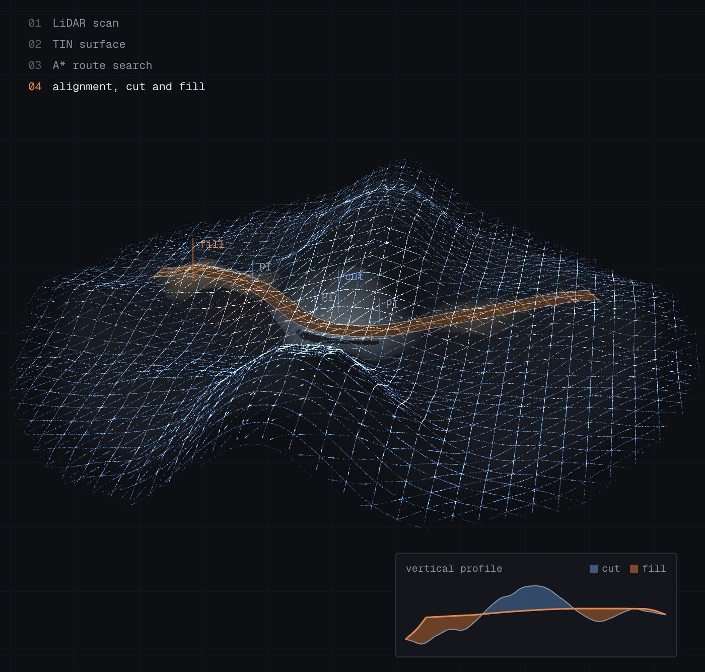
I built a web CAD platform for road design. Engineers import LiDAR point clouds as 3D terrain, design horizontal and vertical alignments with cut/fill analysis, find routes with A*, and get compliance reports against Indian road standards (IRC).

LiDAR → terrain
point clouds to 3D surfaces
A*
route finding over terrain
IRC
compliance reports against Indian road standards

Rust / Axum / React / TypeScript / Three.js
Problem

The client needed a web platform where road engineers import survey scans and CAD drawings, design road alignments in 3D, and get automatic compliance reports against Indian Roads Congress (IRC) standards. That meant heavy point-cloud and terrain geometry in the browser, backed by a multi-user system.

Approach

  • I built a Rust (Axum) backend over PostgreSQL and Redis and a React/TypeScript front end.
  • The front end renders LiDAR point clouds (LAS, LAZ, COPC) and DXF/DWG drawings with Three.js, using level-of-detail loading and a Rust/WASM module for heavy geometry.
  • Survey data becomes TIN terrain surfaces, and engineers design horizontal and vertical alignments with snapping, validation, autosave and cut/fill analysis.
  • An A* route generator finds paths around obstructions and simplifies the result.
  • Designs are checked against IRC tables to produce compliance reports, and export as LandXML and layered DXF.

Architecture

  1. LiDAR / CAD import
  2. TIN terrain
  3. Alignment design
  4. A* routing
  5. IRC checks
  6. Reports & export

Outcome

Engineers go from raw survey data to a standards-checked road design in one multi-user web application.

Building something like this?

Tell me about it